
Even though the mountain bike trail was built by Cincinnati Off Road Alliance (CORA), it is actually a multi-use trail and open to trail runners.
Location:
Hamilton County, on the westside of Cincy near the Miami River in Cleves, OH.
Map directions:
39°11’27.0″N 84°43’10.3″W [link to Maps]
Distance:
This is a group of two 4-mile loops. Choose either trail loop A or B for a 4 mile run, or do both for a total of 8 miles.
Link to Strava here.
Park details:
Dogs not allowed on bike trails.
This is a Hamilton County Park, so you’ll need a Great Parks pass to get in. (The passes are a great deal: $10 for entry into all Cincinnati parks for the entire year!)
Forest is high tree canopy that was planted in the 1930’s, but feels much older.
The terrain is very flat overall with dirt paths.
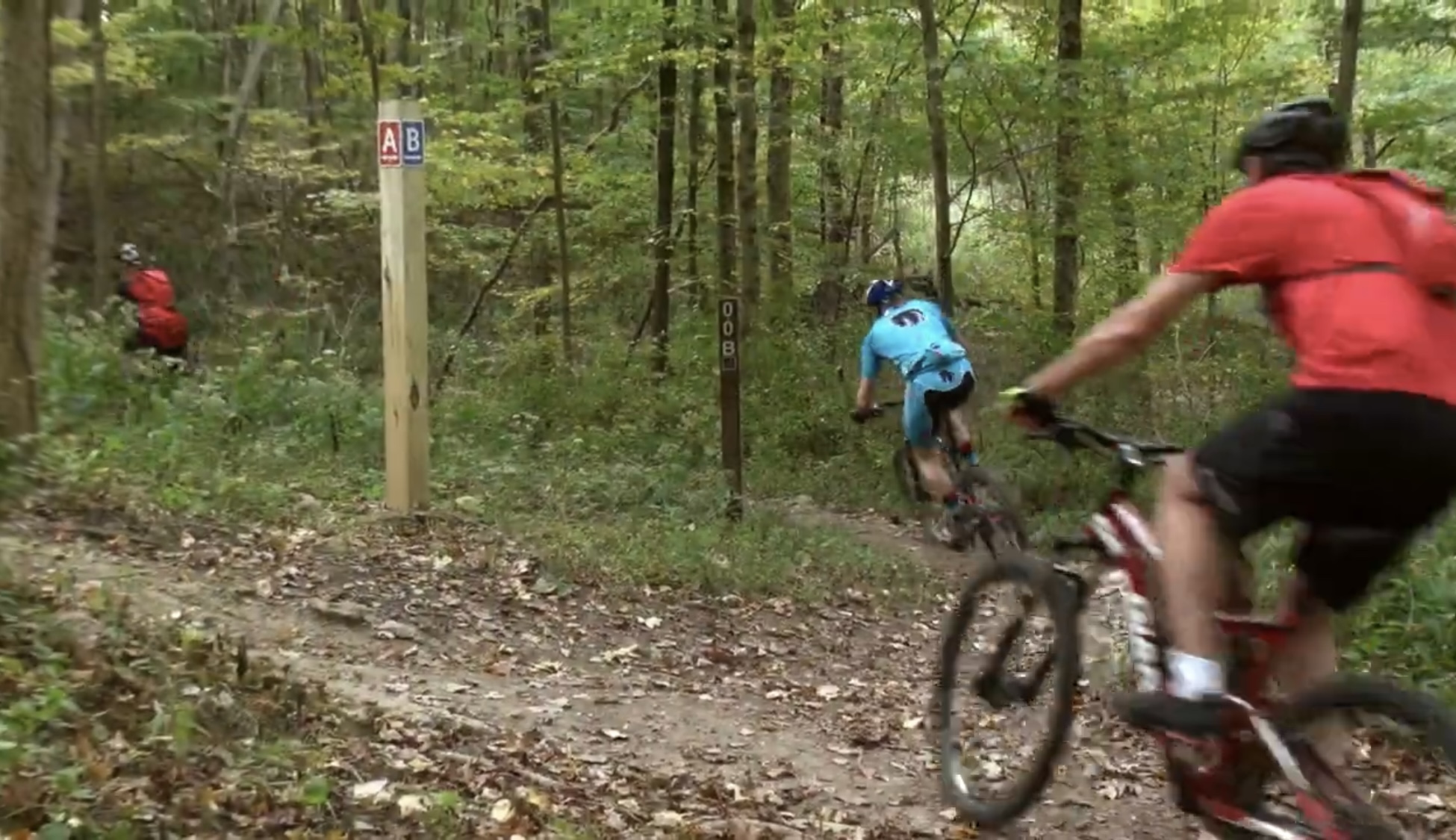
This is a shared path with mountain bikers, so it’s good to be alert to move out of bikers’ way.
Check out the Great Parks website for more details.
After The Run Recommendations:
Sunnyside Grill is known for ultimate breakfasts and larger than life burgers.

Trail Maps:


Additional Images:


Interested in other Cincinnati trail runs or hikes? Check out my list of trails here.
New to trail running? Jump to my post on handy gear if you decide you’re ready to invest in your personal fitness.