
The first time I ran this trail was for the Dirt Days Fleet Feet summer trail series (check out my review of trail races here).
My prior experience at this park was a memorable visit to the lake beach with friends and family, so I knew the area was worth a second glance!
This park is enormous and and has trails of all kinds for a variety of outdoor types. From mountain biking, horseback riding to backpacking adventures, you could easily escape the city for days on end. This “small” 5.6 mile route is a mere fragment of what the park trail system has to offer.
While this route is surrounded by water, the trail is just far enough away from the lake and rivers that you only see water briefly in one area, until you reach the beach. I personally reveled in seeing natural ferns throughout the woods. Some say the area reminds them of the Appalachian Trail.
Location:
Bethel, OH
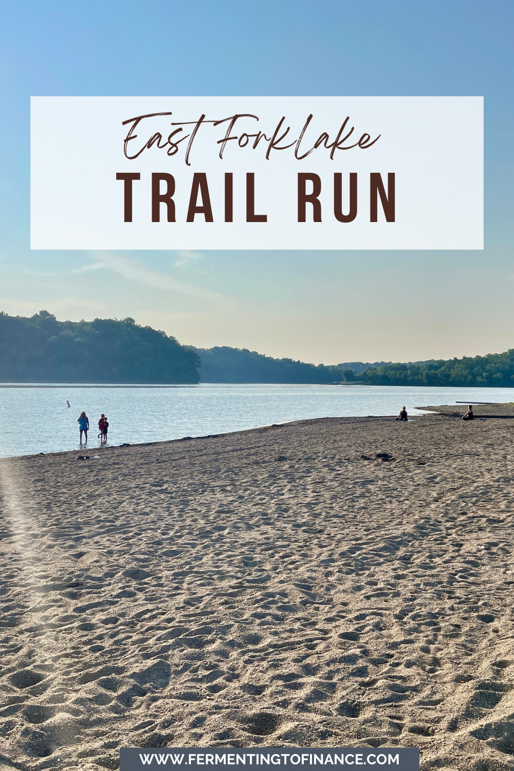
The 5.6 mile trail path begins and ends at the beach on the SOUTH side of the lake.
Parking is at the beach. The trail begins up the hill, off the entrance paved road. At this location the trails are unmarked.
The 4.3 mile trail begins at the East Fork Lake South Trailhead.
Map Directions:
For the 5.6 mile route beginning at the beach: Link to Maps (GPS coordinates: 39°01’01.2″N 84°08’00.6″W)
For the 4.3 mile route beginning at the South Trailhead: Link to Maps
Use Route 125.

Distance:
The 5.6 mile route is a loop that’s made up of a variety of trails, including the Whippoorwill and Cedar mountain bike trails, the larger 16 mile Backpack Trail and the 33 mile Steve Neuman World Walker Perimeter Trail.
The 4.3 mile route consists of the yellow and orange mountain bike and lake trails, which are part of the Backpack Trail.
Park Details:
The trails are dirt bike paths with a good mix of ups and downs that make the pace enjoyable.
In the summer, there aren’t any worthwhile views of the water from the trails so make sure to account for any time you’d like to spend at the beach. This run is about the woods.
Dogs are allowed on trails and in the park, however they are not allowed on the beach sand to keep the sand clean. You must keep them in the grassy areas of the beach.
You may want to check the water safety before visiting as sometimes bacteria levels or algae blooms can be concerning if say, you have a toddler who might eat sand or a preschooler who has ear tubes where bacteria may cause ear infections. This map shows where certain bodies of water are currently flagged with red flags being the most concerning.

After The Run Recommendations:
A packed lunch and a jump in the lake!
I recommend taking advantage of the location and having the family meet you for a day at the beach!
Trail Maps:
5.6 mile route

4.3 mile route


5.6 Mile Dirt Days Additional Images


Interested in other Cincinnati trail runs or hikes? Check out my list of trails here.
Lastly, if you’re from Cincy, keep an eye on the Brink Brewery Co. Run Club FB page for for weekly trail runs and join us.
Additional Resources
You might also be interested in:
- Trail Race Running 101: A Fleet Feet Dirt Days Review
- Straight Street Hill Climb: 0.36 mile Race
- Cincinnati Trail Running: Easy Hikes 3 to 6 Miles Long
- Basic Trail Running Gear
- Salt Lake City Creek Park: 3-4 Mile Trail Run
- Highfield Discovery Children’s Garden: An Enormous Playscape Playground at Glenwood Gardens in Cincinnati
- Glenwood Gardens Bike Trail: 3-6 Mile Long Trail Run
- 5 Best Cincinnati Pumpkin Patches and Fall Festivals
- Grammy’s Secret Family Recipe: How to Cook a Turkey with Tomato Juice
- Savings that makes you money: High Yield Savings Account (HYSA)
- Gallery Of Cakes: Because Life Sometimes Forces Us To Stress Bake