
An Ohio state park and lake approximately 50 minutes from Cincinnati with mountain bike trails, waterfalls, and a swinging rope bridge. It even has a dog friendly beach.


(See also https://www.onlyinyourstate.com/ohio/6-swinging-bridge-trails-in-ohio-that-offer-the-perfect-amount-of-adventure/ for more rope bridge excursion ideas in Ohio)
Location:
Waynesville, Ohio
The Flat Fork Ridge Recreation Area is where you’ll find the trailhead. This is located on Clarksville Rd., close to the Caesar Creek Visitor’s Center (which is located at 4020 N Clarksville Rd., Waynesville, OH 45068).
Map Directions:
You can start this route from two different spots:
1. Flat Fork Ridge Trailhead [link to Maps] 3466 N Clarksville Rd, Waynesville, OH 45068 (this location is where the Strava map starts).
2. Horseshoe Falls Trailhead [link to Maps] (use this starting spot if you’re just wanting a quick hike to the falls. This is where the AllTrails map begins).
Distance:
4.4 miles:
This run includes Horseshoe Falls, the Cove Trail, the Perimeter Trail, and Peninsula Trail.
The run is approximately 4.4 miles, but may be longer or shorter depending on what loops you choose to skip or add.
OR-
1.7 miles total there and back:
If you’d like to skip the run and just hike to the falls and swinging rope bride, follow this map from the Wellman or Horseshoe Falls trailhead:
Horseshoe Falls on AllTrails (see a screenshot of this map below too!)
Park Details:
Dogs are allowed. Designated dog park area along regular beach offering a beach for swimming and playing off leash!
Trails change terrain from rocky, heavily tree-rooted, sandy, to dirt.
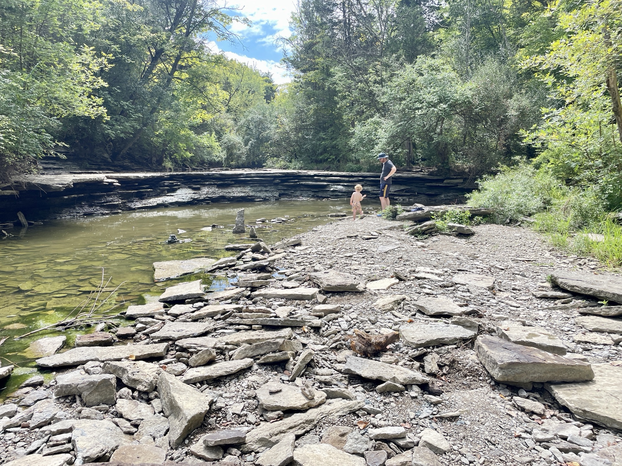
During the summertime the falls are actually just a trickle, but this time of year you get to hike down into the river bed and explore the fossilized rock.

If you’re wanting to see the falls in their full glory, the best time would be after a hard snowfall has just melted in the spring.
After The Run Recommendations:
Caesar Creek Flea Market [link to Maps here].
Trip with the family to the lake beach [link to Maps here].
Trail Maps:


Other run options are bike trails which are farther north:

Additional Images
Photos from a run and family excursion in August:


Interested in other Cincinnati trail runs or hikes? Check out my list of trails here.
Additional Resources
You might also be interested in checking out:
- East Fork Lake: 5.6 Mile Backpack Trail Run
- Trail Race Running 101: A Fleet Feet Dirt Days Review
- Cincinnati Trail Running: Easy Hikes 3 to 6 Miles Long
- Basic Trail Running Gear
- 5 Best Cincinnati Pumpkin Patches and Fall Festivals
- Savings that makes you money: High Yield Savings Account (HYSA)
- Easy and Versatile Aioli Recipe: ‘Marie’s Joy Mayo’… homemade in a blender!