
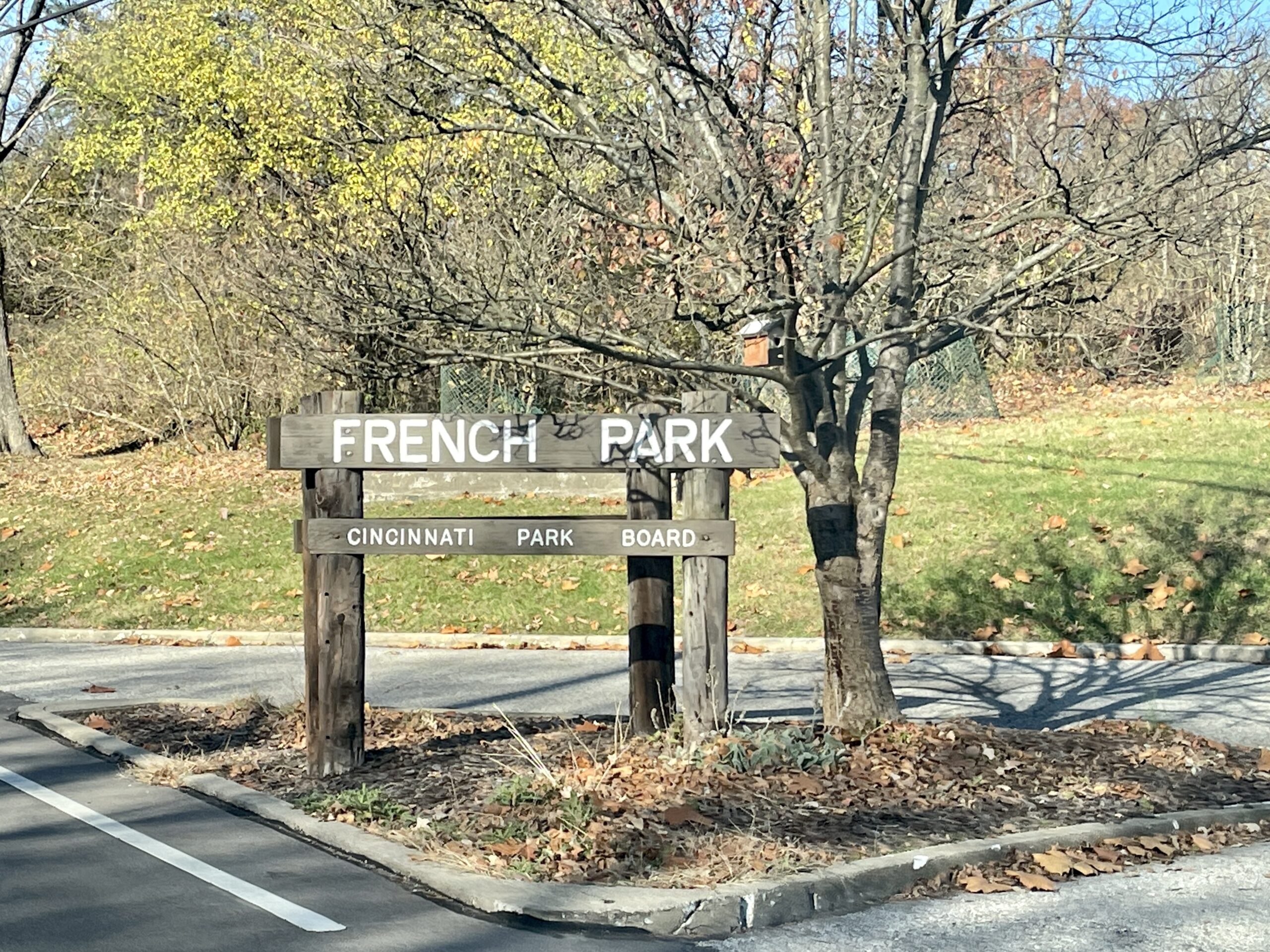


Location:
French Park is located in Amberly Village. We meet at the upper parking lot.
Map directions:
39°11’53.2″N 84°25’14.2″W [link to Maps]
Distance:
The loop is 2-miles long and we hit it twice for a 4-mile run.
Park details:
Dogs allowed on leash.
666 elevation gain.
Run through fields, creek, arching trails. There’s one climb called the devils backbone that walking is likely required, but most of the trail is pretty flat and achievable!
After the run recommendations:
Brunch and beer at one of the Eastside breweries, such as Nine Giants, High Grain, or Mad Tree.
A favorite coffee and brunch location within a 10 min drive is Proud Hound Coffee [link to Maps].
Trail Maps:

Access the official city map here:


Interested in other Cincinnati trail runs or hikes? Check out my list of trails here.
New to trail running like me? Jump to my post on handy gear if you decide you’re ready to invest in your personal fitness.